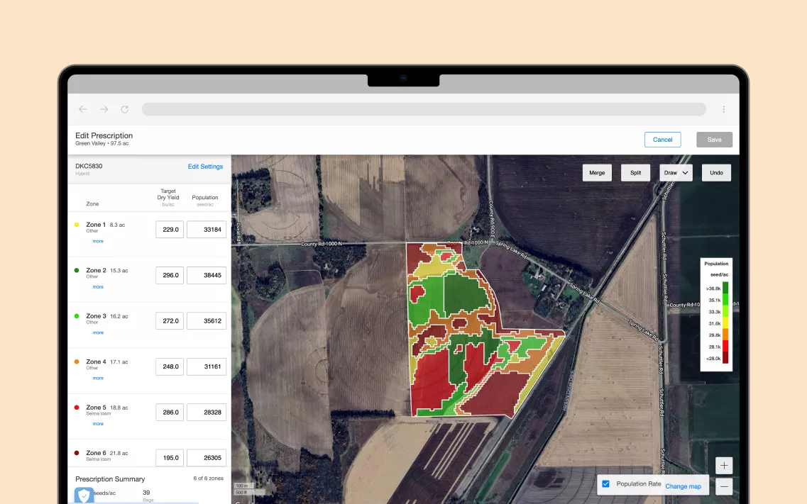
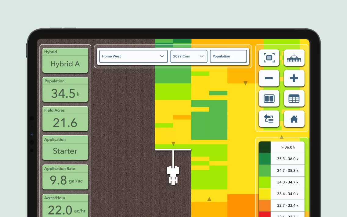
Compare hybrids, inputs or practices on the same map to evaluate performance.
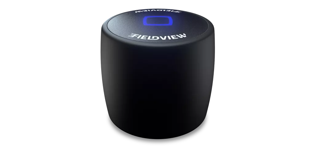
Gather Information
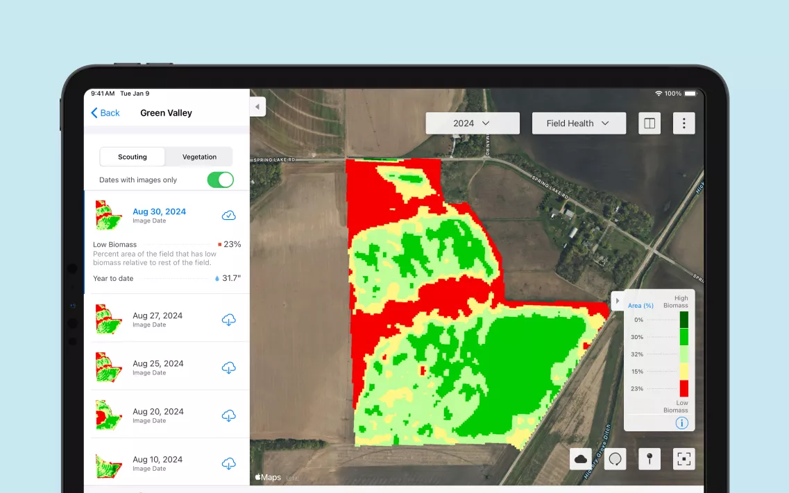
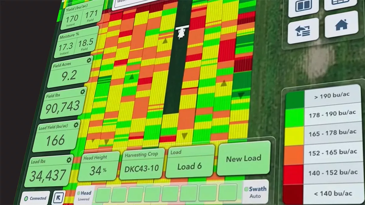
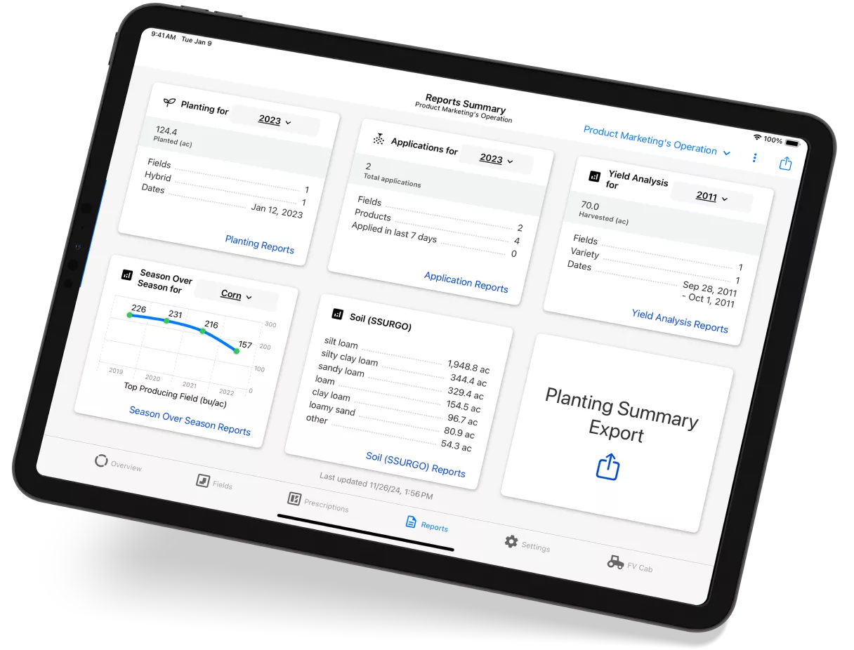
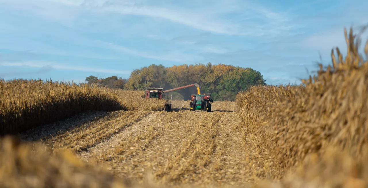
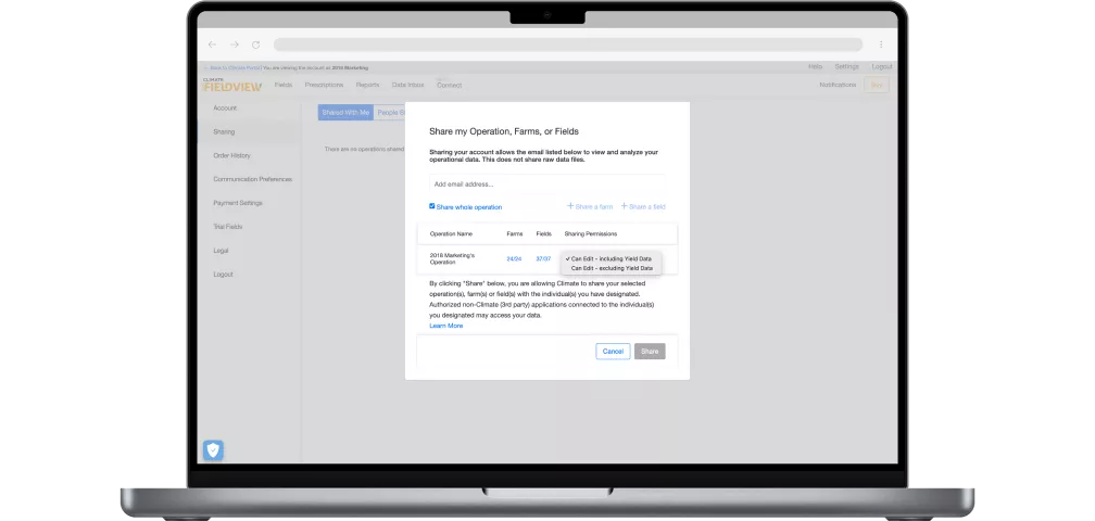
Get a clear view of your farm's performance with FieldView: monitor crop progress in real-time and share data with your agronomist to optimize your operation.